Florida Aerial Solutions

Commercial Drone & Real Estate Photography
High Resolution Aerial Videos & Photographs
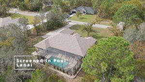
Drastically Improve Real Estate Listings on Zillow and MLS
Highlight Property Boundaries, Landscape Features & Acreage
Construction Site Progress Updates
Aerial Views of Construction and Materials – Verify deadlines are being met. Check the on-site building material supply or quality.
360-Video Site Walk-throughs – Check progress and build quality even inside a structure. Have full control of what you want to focus on.
360° Virtual Reality Video & Photos
Virtually walk through your space and control every angle you see either through your browser or with virtual reality.
Give clients the feeling of really being there.
Use with Zillow 3D Home Tours for extra attention to your real estate listing.
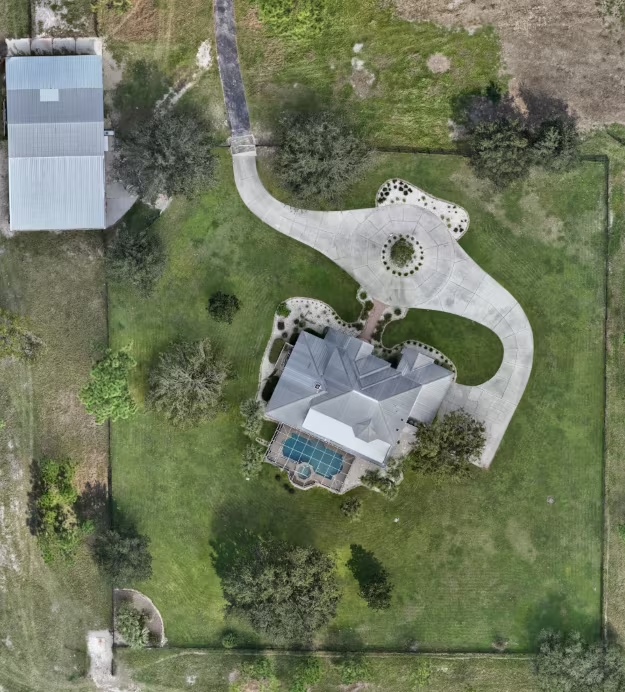
Orthomosaic Mapping
Highly detailed overhead maps several times better resolution than Google Maps are created from the stitching together of many images taken from the air. Our current hardware and software allows for down to 1-inch per pixel resolution, providing accurate measurements to be taken from produced maps.
Orthomosaic maps can be used to determine plant health, aid in construction planning, and provide worksite updates throughout a project’s lifecycle. Having 1-inch per pixel resolution opens up the ability to inspect a site remotely with high reliability.
Photogrammetry
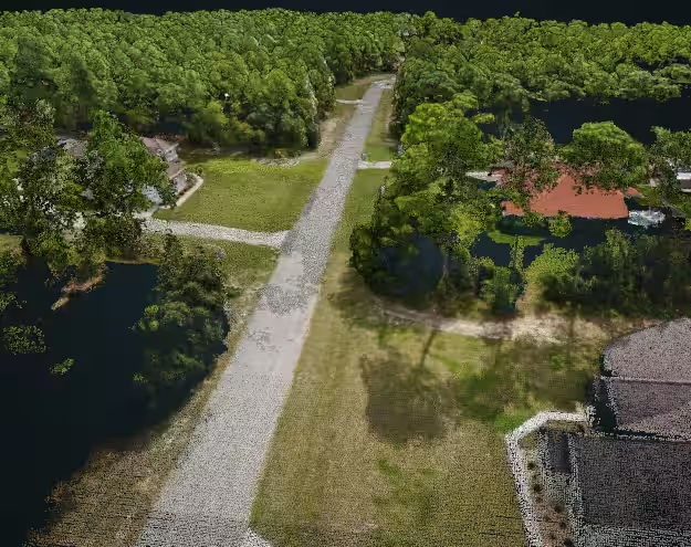
Through the process of capturing hundreds of pictures from the air and using some very advanced software, textured 3D models of areas can be created.
Use this data to understand your property’s terrain, knowing low and high spots and estimate construction requirements. Recreate historical sites virtually to study, analyze construction sites, calculate cached volume of materials, and have accurate 3D models to virtually walk-through on your own time.
About Us
FAA Certified
4k Video
Same Day Service
Contact
Text or Call: 352-346-9586
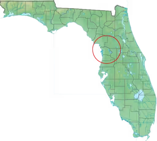
Servicing: Brooksville, Crystal River, Pine Ridge, Beverly Hills, Dunnellon, Homosassa, Inverness, Lecanto, Ocala, Spring Hill, The Villages, Williston, and surrounding areas
