Author: Philip V
-
MLS Rules for Photos and Video
—
by
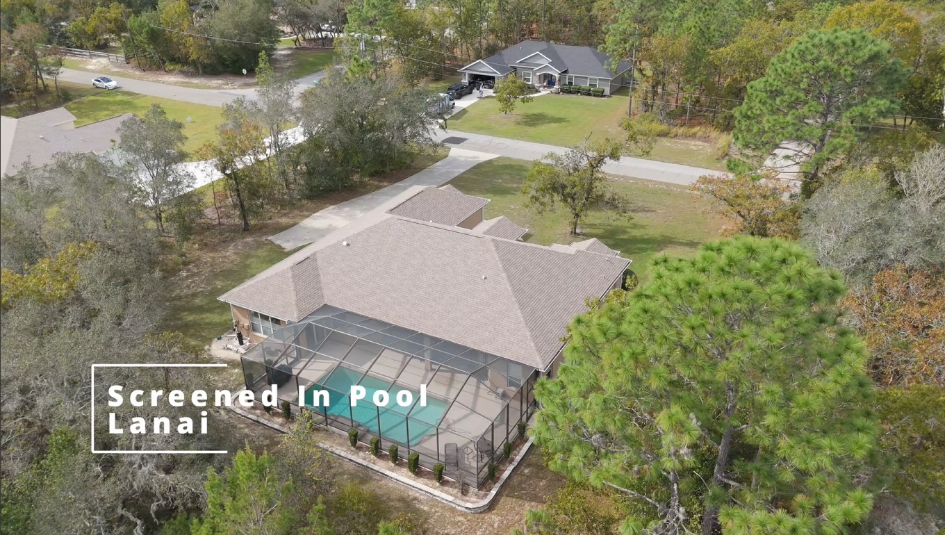
Top rules for real estate agents to keep in mind when sourcing photographs, videos, and virtual tours for their listings. Stellar MLS has assembled a great guide for staying compliant in the MLS system and several of these intersect with the services Florida Aerial Solutions offers. Listing Photos At least one photo required prior to…
-
Utilizing Drone Photography for Florida Wildlife Conservation
—
by
Drone photography is revolutionizing Florida’s wildlife conservation efforts by offering new perspectives for monitoring ecosystems. This technology provides advantages in surveying diverse habitats while minimizing human impact. In this article, we explore the role of drones in conservation, focusing on their benefits and applications in Florida’s unique environmental landscape. The Role of Drones in Wildlife…
-
Drone Recommendations for Realtors in 2024
—
by
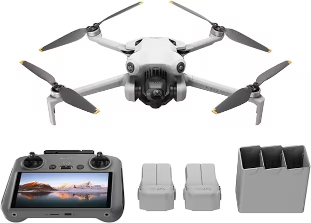
There are many drone brands out there and it gets confusing very quickly for anyone new to the subject. I will be focusing on DJI for this article since it’s the most budget and user friendly brand. You get a LOT of features for the money with DJI.
-

United States Drone Laws Effects on Realtors in 2024
—
by
Over the years, the FAA has refined it’s drone-specific rules and requirements, but one very crucial constant has remained very relevant for Realtors: If a drone is used for commercial purposes, the operator must be FAA licensed. What Are “Commercial Purposes”? This could be anything from using a drone to attach a rope to a…
-
What is Orthomosaic Mapping?
—
by
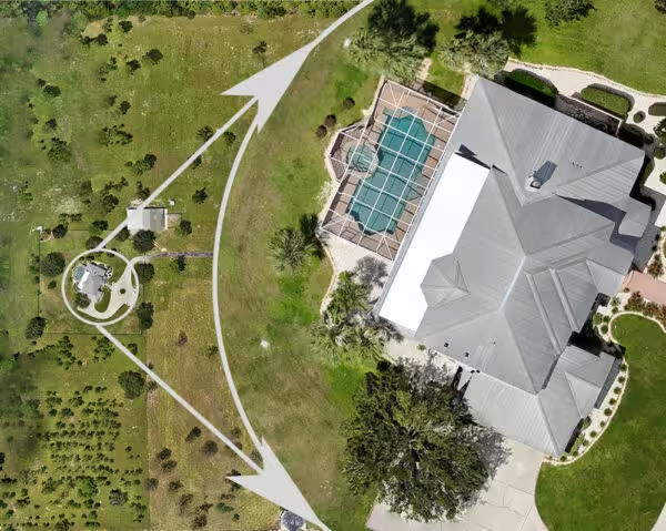
You are almost certainly familiar with Google Maps’ satellite view and how you can pan around the globe and zoom in and see every tile from a completely vertical view. You are always straight overhead (orthogonal) and not looking at the side of a building. So what exactly does “orthomosaic mapping” mean then? The following…
