What Is Photogrammetry?
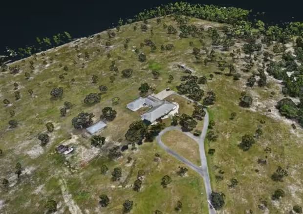
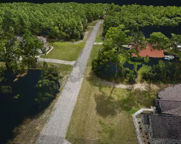
Photogrammetry is the extraction of three-dimensional measurements from two-dimensional data. In the context of drone imagery, hundreds or thousands of photographs will be taken of a site from the air at many different angles to then derive a 3D shape.

Who Uses Photogrammetry and Why?
- Surveying and Mapping:
- Land Surveying: Surveyors use photogrammetry to create accurate topographic maps, digital terrain models, and orthomosaics. It aids in land boundary determination, infrastructure planning, and environmental assessments.
- Urban Planning: Photogrammetry provides detailed city maps, building footprints, and elevation data. Planners use it for zoning, transportation, and infrastructure development.
- Agriculture and Environmental Monitoring:
- Crop Health Assessment: Drones equipped with cameras capture multispectral imagery. Photogrammetry helps monitor crop health, detect stress, and optimize irrigation.
- Forest Management: Photogrammetric data assists in forest inventory, tree counting, and assessing deforestation.
- Construction and Architecture:
- Construction Site Monitoring: Drones capture progress photos, creating 3D models of construction sites. This aids project management, quality control, and safety assessments.
- Architectural Reconstruction: Historical buildings or archaeological sites benefit from photogrammetry for accurate 3D modeling and preservation.
- Mining and Quarrying:
- Volumetric Calculations: Photogrammetry measures stockpile volumes, pit depths, and terrain changes. It optimizes resource extraction and safety.
- Blast Monitoring: Before and after blasting, photogrammetry assesses changes in mining areas.
- Forensics and Accident Reconstruction:
- Crime Scene Documentation: Investigators use photogrammetry to create 3D models of crime scenes. It aids in evidence analysis and courtroom presentations.
- Vehicle Accident Reconstruction: Photogrammetry reconstructs accident scenes, determining impact points and vehicle trajectories.
- Heritage Preservation and Cultural Heritage:
- Archaeology: Photogrammetry documents ancient ruins, artifacts, and excavation sites. It preserves cultural heritage digitally.
- Historical Buildings: Detailed 3D models help restore and maintain historical structures.
- Entertainment and Virtual Reality (VR):
- Film and Animation: Photogrammetry creates realistic 3D assets for movies, video games, and virtual simulations.
- Virtual Tours: VR experiences use photogrammetry to immerse users in lifelike environments.
- Geological Exploration and Natural Resource Management:
- Geological Mapping: Photogrammetry assists in geological surveys, fault line analysis, and mineral exploration.
- Environmental Impact Assessment: It provides baseline data for assessing environmental changes due to mining, oil extraction, or infrastructure projects.
- Telecommunications and Infrastructure Inspection:
- Cell Tower Placement: Photogrammetry helps choose optimal locations for cell towers.
- Power Line Inspection: Drones capture detailed images for assessing power line conditions.
