Tag: aerial photography
-

Utilizing Drone Photography for Florida Wildlife Conservation
—
by
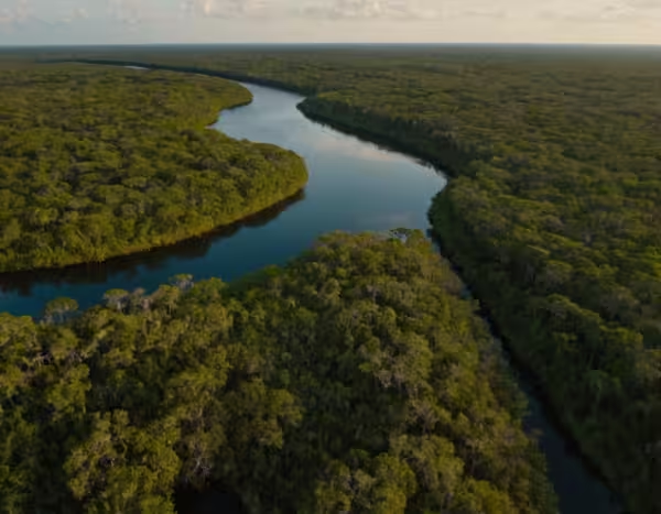
Drone photography is revolutionizing Florida’s wildlife conservation efforts by offering new perspectives for monitoring ecosystems. This technology provides advantages in surveying diverse habitats while minimizing human impact. In this article, we explore the role of drones in conservation, focusing on their benefits and applications in Florida’s unique environmental landscape. The Role of Drones in Wildlife…
-

What is Orthomosaic Mapping?
—
by
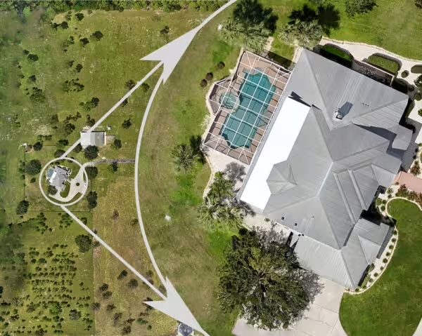
You are almost certainly familiar with Google Maps’ satellite view and how you can pan around the globe and zoom in and see every tile from a completely vertical view. You are always straight overhead (orthogonal) and not looking at the side of a building. So what exactly does “orthomosaic mapping” mean then? The following…
