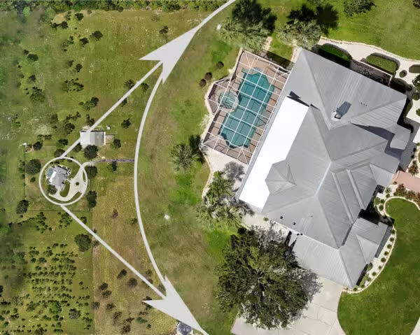
You are almost certainly familiar with Google Maps’ satellite view and how you can pan around the globe and zoom in and see every tile from a completely vertical view. You are always straight overhead (orthogonal) and not looking at the side of a building.
So what exactly does “orthomosaic mapping” mean then? The following 2 words/concepts comprise orthomosaic:
orthogonal
adjective
Relating to or composed of right angles.
mosaic
noun
A composite picture made of overlapping, usually aerial, photographs.
So we have a mosaic comprised of photographs at right angles to the ground, or orthophotos. Mapping is then taking this mosaic and aligning it cardinal directions.
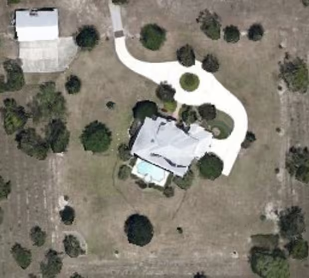
Getting back to Google Maps imagery, these images at their various levels of detail are typically comprised of many images stitched together (a mosaic) to remove the typical perspective distortions from them. The closer to the center of the image, the less distortion exists. The algorithms that take hundreds of these images and merge them focus on this center area to be shown while using the remainder of the image to align with surrounding images.
Google typically sources satellite imagery and contracts airlines and pilots to shoot images at lower altitudes to provide higher detail than the satellites can provide. On average, Google Maps tends to have 10-15 cm/pixel (4-6″/pixel) resolution and images can be up to several years old. This is certainly amazing for a free service and you can certainly use this to explore the earth from the comfort of your desk. For most people, this is enough.
But wait, there’s more…
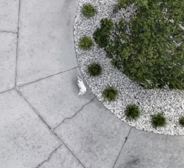
Using this same technology, but being able to fly even lower and slower, resolutions 10x better than Google’s are possible using drones. This allows for down to about 1/2″ per pixel resolution, allowing someone to see individual leaves on bushes and determine accurate colors. To add to this, the images can be taken on demand instead of relying on Google’s multi-year cycle of getting new imagery. The uses for this are everything from construction planning, crop monitoring, archeological site preservation, landscape planning, and real estate advertising for large properties.
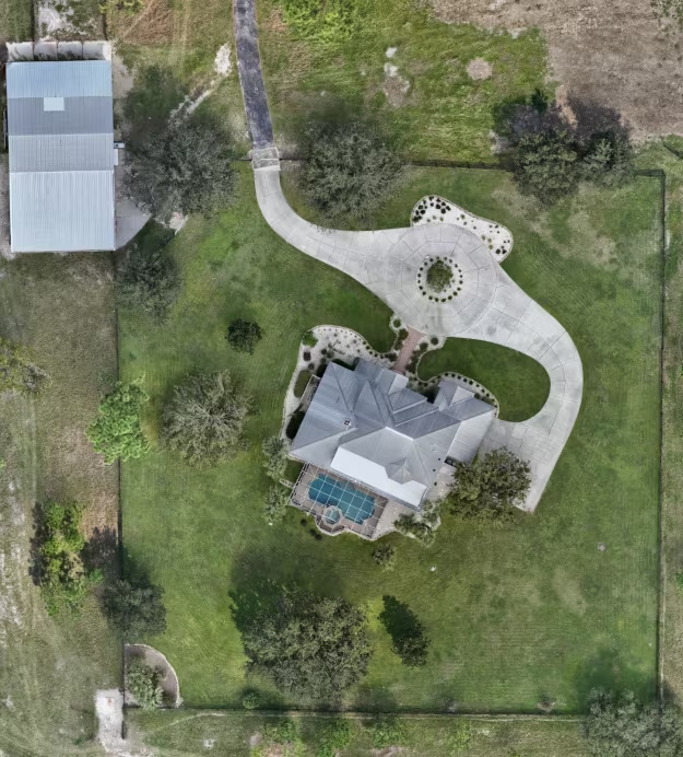
Did you see the dog?
If you are interested in orthomosaic mapping services in Citrus County Florida or surrounding areas, please contact us for a quote.
